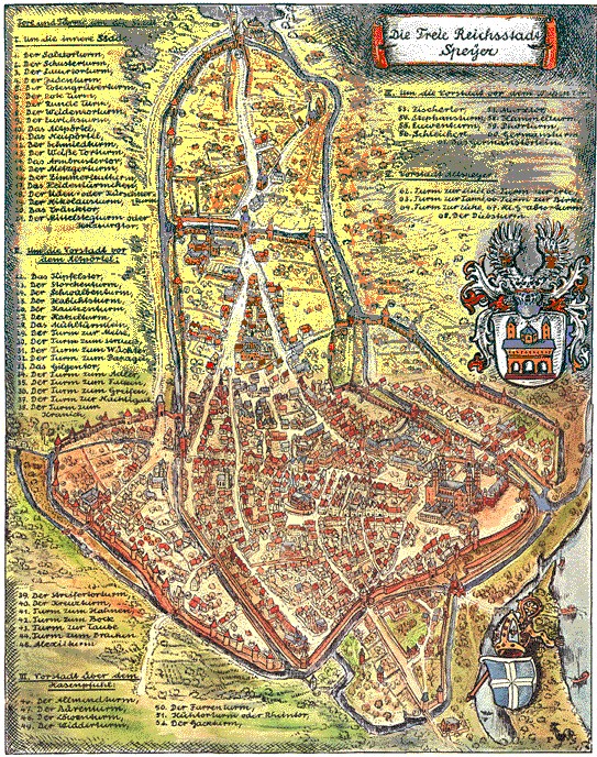
Speyer
Speyer | |
|---|---|
Speyer: Maximilianstraße with the Speyer Cathedral in the background | |
|
Coat of arms | |
Location of Speyer | |
Speyer Speyer | |
| Coordinates: 49°19′10″N 8°25′52″E / 49.31944°N 8.43111°E | |
| Country | Germany |
| State | Rhineland-Palatinate |
| District | Urban district |
| Subdivisions | 4 Stadtteile |
| Government | |
| • Lord mayor | Hansjörg Eger (CDU) |
| Area | |
| • Total | 42.58 km2 (16.44 sq mi) |
| Elevation | 92 m (302 ft) |
| Population (2023-12-31)[1] | |
| • Total | 51,203 |
| • Density | 1,200/km2 (3,100/sq mi) |
| Time zone | UTC+01:00 (CET) |
| • Summer (DST) | UTC+02:00 (CEST) |
| Postal codes | 67346 |
| Dialling codes | 06232 |
| Vehicle registration | SP |
| Website | www |
Imperial City of Speyer Reichsstadt Speyer | |||||||||
|---|---|---|---|---|---|---|---|---|---|
| 1294–1792 | |||||||||
| Status | Free Imperial City of the Holy Roman Empire | ||||||||
| Capital | Speyer | ||||||||
| Government | Republic | ||||||||
| Historical era | Middle Ages | ||||||||
• Founded | ca 10 BC | ||||||||
• Gained Reichsfreiheit | 1294 | ||||||||
• Diet at Speyer confirms Edict of Worms | April 19, 1529 | ||||||||
• Protestation at Speyer | April 20, 1529 | ||||||||
• City razed | 1688 | ||||||||
• Annexed by France | 1792 | ||||||||
• Annexed to Bavaria | 1816 | ||||||||
| |||||||||
Speyer (English formerly Spires) is a city in the state of Rhineland-Palatinate with about 50,000 inhabitants on the Rhine river. It lies 25 kilometres (15.5 miles) south of Ludwigshafen and Mannheim. Around the year 500 the town gets the name Spira, named after the stream Speyerbach which flows into the Rhine river here.
The center of Speyer is dominated by the Speyer Cathedral. Here are the tombs of several of the Salian emperors: the bodies, however, are believed to have gone missing during one of the French invasions during the seventeenth and eighteenth centuries.
Photo gallery
- Speyer
-
Cathedral
-
Cathedral inside
-
View from the tower of the cathedral
-
Old city gate
-
City hall
-
Memorial church
-
Church of St. Joseph
References
- ↑ Bevölkerungsstand 31. Dezember 2023, Landkreise, Gemeinden, Verbandsgemeinden; Fortschreibung des Zensus 2011 (in German), Statistisches Landesamt Rheinland-Pfalz, 2024
Other websites
Media related to Speyer at Wikimedia Commons
- speyer.de Archived 2003-08-11 at the Wayback Machine the city website (partly in English)
- museum.speyer.de Archived 2004-10-10 at the Wayback Machine Historical Museum of the Palatinate (in English)
- dom-speyer.de website of Speyer Cathedral (in German)
- Model Map of Medieval Speyer
- Technical (Transport) Museum Archived 2006-12-31 at the Wayback Machine